Severe Weather Possible Tuesday for Southeast South Dakota, Minnesota, and Iowa
Spring has arrived and it is finally starting to feel that way outside. Tuesday could potentially show us more evidence that spring has arrived.
According to the National Weather Service in Sioux Falls, there is a significant chance of severe weather impacting southeastern South Dakota, northwestern Iowa, and southwestern Minnesota.

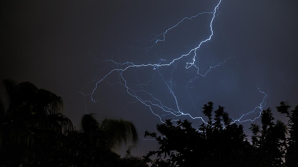
While flash flooding is not seen to be likely at all, tornadoes are possible, along with strong winds and the possibility of moderately large hail impacting the area. Hail stones as large as 1.75 inches are possible with the system.
The National Weather Service says the timeframe for the weather to roll through Sioux Falls will likely be between 5:00 pm and midnight on Tuesday, April 12.
Iowa has the greatest chance of severe weather with this system. Most of South Dakota has just a marginal chance of getting hit.
While we may not be most likely to get smacked with severe weather, we could certainly use the rain in most of the state. According to the drought monitor at the University of Nebraska, southeastern South Dakota is either abnormally dry or dealing with moderate drought.
The National Weather Service says we received less than half of our normal precipitation total in March.
TRENDING FROM RESULTS-TOWNSQUARE MEDIA SIOUX FALLS
- You Can Rent This Entire Minnesota Island for Only $375 Per Night
- The 5 Best 'Hole in the Wall' Restaurants in all of South Dakota
- The Best Pit Stops When Driving Across South Dakota
- The 10 Deadliest Creatures in the U.S. - And South Dakota Has Lots of Them
7 Things Real Sioux Falls Residents Look Forward To Every Spring
More From Hot 104.7 - KKLS-FM