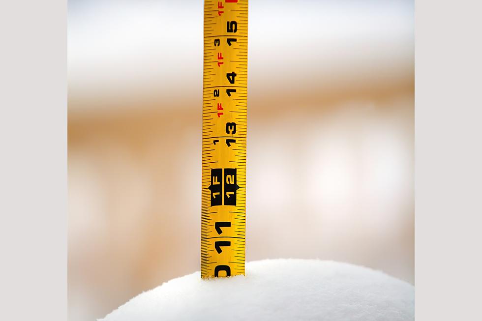
Sioux Falls Ends the Storm with Over a Foot of Snow
UPDATE 2:30 PM 2/23
Final snow amounts from the National Weather Service for the February 21-23 storm:
- Sioux Falls finished with 12.9 inches.
- Mitchell: 13.2 inches
- Brookings: 11 inches
Location                     Amount    Time/Date
Taunton                      21.0 in   0800 AM 02/23
Slayton 0.8 SSW              16.5 in   0700 AM 02/23
2 S Huron                    16.0 in   0640 AM 02/23
2 NE Worthington             15.5 in   0800 AM 02/23
Edgerton                     15.0 in   0648 AM 02/23
4 ENE Hardwick               15.0 in   0813 AM 02/23
1 N Marshall                 15.0 in   0800 AM 02/23
Salem                        14.0 in   0800 AM 02/23
Windom                       13.9 in   0800 AM 02/23
Hartford 0.5 N               13.7 in   0600 AM 02/23
Chamberlain 7.5 SSW          13.6 in   0700 AM 02/23
Bruce 5.3 W                  13.5 in   0800 AM 02/23
Mitchell                     13.2 in   0800 AM 02/23
Aurora                       13.0 in   0800 AM 02/23
De Smet 0.2 SSE              13.0 in   0700 AM 02/23
Hendricks 8.0 SE             13.0 in   0700 AM 02/23
Lakefield                    13.0 in   0800 AM 02/23
1 SSE Madison                13.0 in   0800 AM 02/23
Wessington Springs           13.0 in   0800 AM 02/23
Sioux Falls 5.2 E            12.9 in   0700 AM 02/23
3 N Sioux Falls              12.6 in   0538 AM 02/23
1 SE Tea                     12.6 in   0800 AM 02/23
Mount Vernon                 12.0 in   0800 AM 02/23
Parker 7.2 N                 12.0 in   0700 AM 02/23
Brookings 1.6 S              11.0 in   0700 AM 02/23
Sibley                       11.0 in   0800 AM 02/23
2 NNE Lakefield              10.9 in   0800 AM 02/23
Brookings 6.5 NNW            10.5 in   0700 AM 02/23
Hills 0.2 NW                 10.5 in   0700 AM 02/23
1 NNW Canton                 10.4 in   0800 AM 02/23
10 W Dimock                  10.3 in   1121 AM 02/23
Hurley 0.2 S                 10.1 in   0600 AM 02/23
4 SW Burke                   9.5 in    1119 AM 02/23
9 S Dallas                   9.5 in    1115 AM 02/23
1 W Alexandria               9.0 in    0800 AM 02/23
5 SSW Herrick                9.0 in    1119 AM 02/23
4 SW Stickney                8.5 in    1120 AM 02/23
4 S Cottonwood               8.2 in    0750 AM 02/23
Rock Rapids                  8.0 in    0800 AM 02/23
1 W Spirit Lake              7.7 in    0800 AM 02/23
2 S Armour                   7.5 in    0759 AM 02/23
13 WNW Platte                7.0 in    0800 AM 02/23
Yankton                      7.0 in    0520 AM 02/23
Tyndall                      6.7 in    0800 AM 02/23
4 SSW Pickstown              6.5 in    0800 AM 02/23
2 ESE Yankton                6.5 in    0800 AM 02/23
Hull                         6.0 in    0815 AM 02/23
1 WNW Vermillion             5.5 in    0800 AM 02/23
Sheldon                      5.0 in    0800 AM 02/23
Orange City                  4.5 in    0800 AM 02/23
1 N Spencer                  3.5 in    0707 AM 02/23
Le Mars 1.0 E                3.0 in    0530 AM 02/23
3 SSE North Sioux City       2.5 in    0434 AM 02/23
3 NNE Sioux City             2.0 in    0506 AM 02/23
5 NW Holstein                1.9 in    0800 AM 02/23
5 NW Moville                 1.8 in    0800 AM 02/23
Remsen                       1.8 in    1100 AM 02/23
Sergeant Bluff               1.3 in    1118 AM 02/23

UPDATE 7:00 AM 2/23
As the snow ended in Sioux Falls, the National Weather Service reported that Sioux Falls had gotten 12.6 inches of snow.
Even though the snow stopped, the wind is still crazy, blowing and drifting snow is making driving difficult.
TRENDING FROM RESULTS-TOWNSQUARE MEDIA SIOUX FALLS
UPDATE 3:25 PM 2/22
UPDATE 9:35 AM 2/22/23
The National Weather Service office in Sioux Falls reported Wednesday morning that at the airport Sioux Falls has seen five inches.
Across the border in Minnesota Edgerton has gotten seven inches and Minneota has just over four. . In Iowa, Spirt Lake has 3 inches. MN: 7"
A Blizzard Warning has been issued for Wednesday and Thursday.
Snow is expected to continue through Thursday with Sioux Falls forecast to get seven to ten inches.
The Coldest Temperatures in Sioux Falls History
More From Hot 104.7 - KKLS-FM