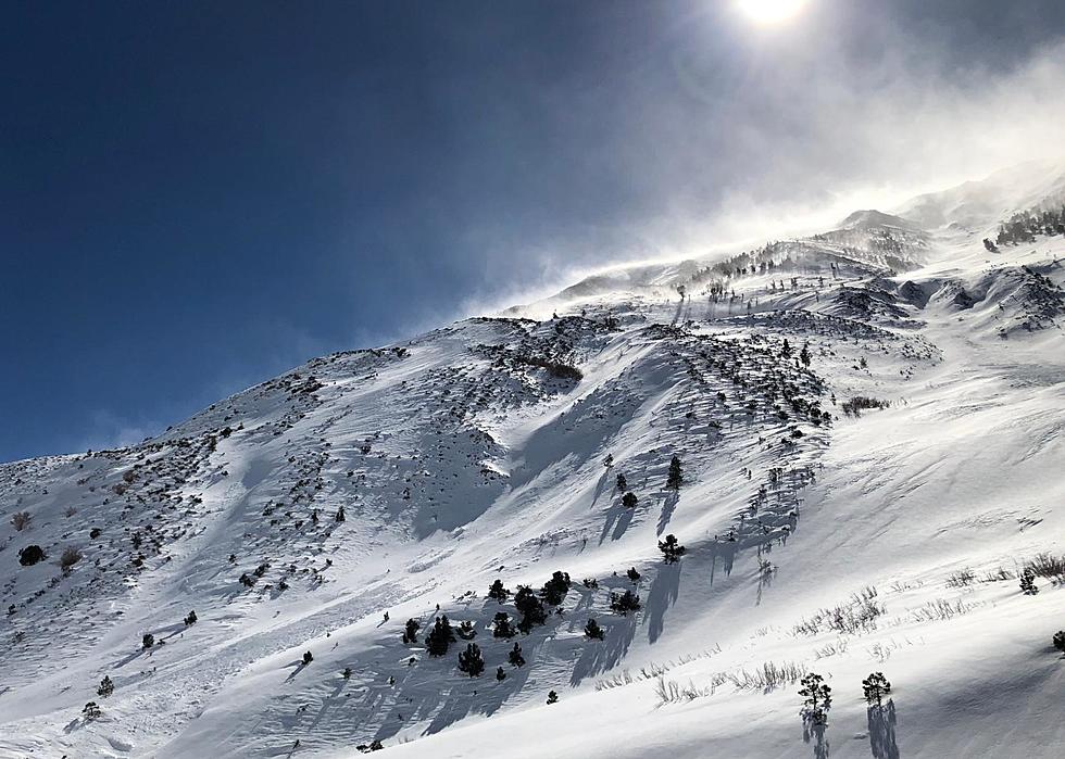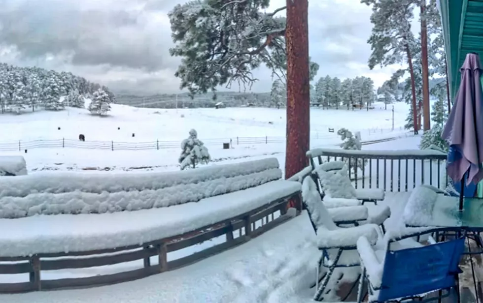
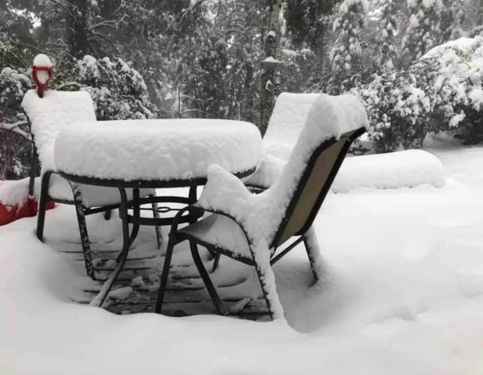
South Dakota Black Hills Breaks Snow, Winter Weather Records
It was a record-breaking weather event for western South Dakota. Labor Day brought snow and cold temps for Rapid City and the Black Hills area.
There were reports of over 10'' inches of snow in Lead and over 6'' inches in Deadwood. According to the National Weather Service in Rapid City, these are some of the records broken in Rapid City include:
- -Record Daily Low: +31 / Old Record: 1929 +34
- -Record Daily Precipitation: .97'' / Old Record: 1951 .55''
- -Record Daily Snow: .06'' / Old Record: None
- -Earliest Freezing Temp: Sept. 7 / Old Record: Sept. 11, 1921, 2014
- -Earliest Measurable Snow: Sept. 7 / Old Record: Sept. 11 2014 1.6''

The Sioux Falls area just saw colder temps and scattered rain showers. The latest weather forecast for the Sioux Falls Tri-State area looks cold and damp.
Today: Showers likely, mainly before 2 pm. Cloudy, with a high near 50. North northeast wind around 15 mph. The chance of precipitation is 70%. New precipitation amounts between a tenth and quarter of an inch possible.
Tonight: A chance of showers, mainly after 1 am. Mostly cloudy, with a low around 42. North wind 5 to 10 mph. The chance of precipitation is 50%.
Wednesday: Showers likely, mainly before 1 pm. Cloudy, with a high near 53. Northeast wind 5 to 10 mph. The chance of precipitation is 60%. New precipitation amounts of less than a tenth of an inch possible.
Wednesday Night: Mostly cloudy, with a low around 40. Northeast wind around 5 mph becoming calm in the evening.
Thursday: Partly sunny, with a high near 64. Calm wind becoming south southeast around 5 mph in the afternoon.

10 Towns Out-of-Staters Can't Pronounce
More From Hot 104.7 - KKLS-FM