Just How Long Have ‘The Falls’ Existed?
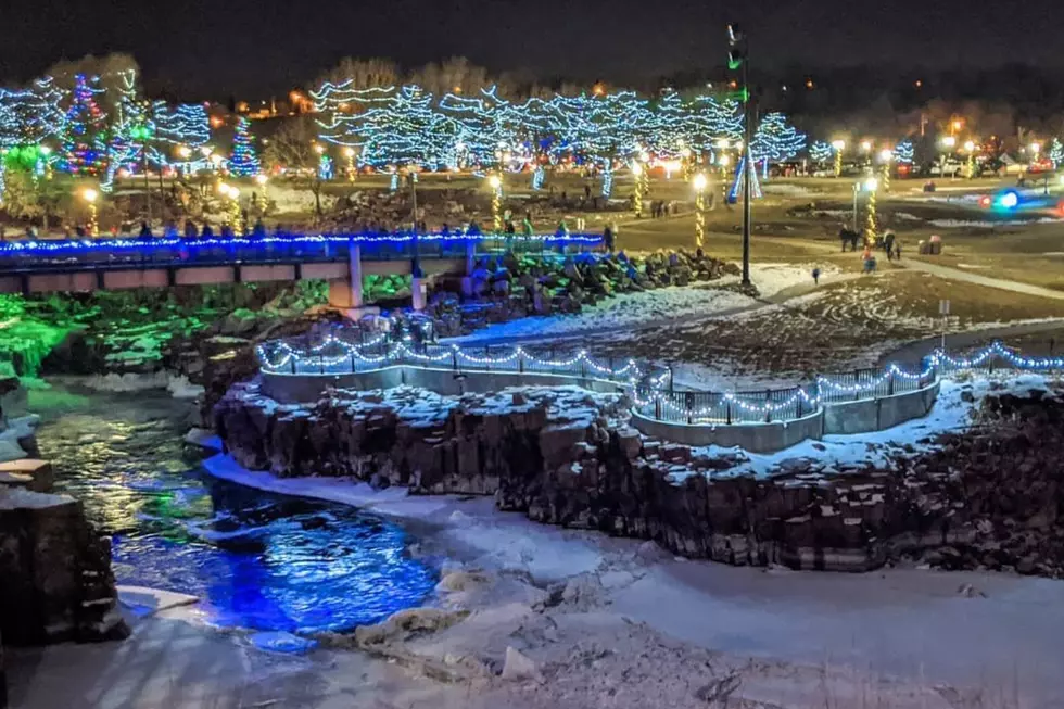
Falls Park. It's arguably the most well-known thing about Sioux Falls. You'd be hard-pressed to find a local who hasn't snapped a picture in front of the illustrious landmark.
The Falls haven't always been a part of the Sioux Falls landscape, though. And just how they came to be is an interesting story, indeed.
Before the last ice age, the geography of South Dakota (and most of the Midwest) looked very different. Places with deep ravines, rivers, and quarries, were very likely flat prairies, that stretched for miles on end. But all of this changed around 14,000 years ago.

The Wisconsin Glaciation Period, otherwise known as the last ice age in North America began around 75,000 years ago in most of Canada, large parts of the Midwest, New England, and parts of Idaho and Montana. In fact, most leading scientists credit it for bringing the first Native Americans into the continent thousands of years ago, thanks to a land bridge that connected Alaska and Siberia.
As we all know though, the ice sheet didn't last forever. When the Earth began warming up again, the glaciers began to recede. Around 14,000 years ago, the ice sheet disappeared from the Sioux Falls area, leaving a vastly changed landscape.
The Big Sioux River, Pallisades State Park, and yes, Falls Park, were are carved into existence during this period.
To see just how different the Midwest looked before the last ice age, check out this link from the Ice Age Museum.
Story Source: Britannica
Story Source: Ice Age Museum
Sioux Falls Cheapest Home
More From Hot 104.7 - KKLS-FM