December 15 Iowa Storms Were Serial Derecho, Different From 2020
16 months, and officially two derechos in Iowa. Let's hope this isn't the new norm.
The National Weather Service Storm Prediction Center has confirmed the storms that impacted Illinois, Iowa, Kansas, Missouri, Nebraska, and Wisconsin on Wednesday, December 15, 2021 were part of a serial derecho. That's a different type than impacted a large region of the Midwest on August 10, 2020. The NWS also reports it's the "first derecho to occur in the month of December, anywhere in the USA." Lucky us.
According to the National Weather Service, a serial derecho usually happens during the spring and fall, albeit the final week of fall, in this case. They go on to say,
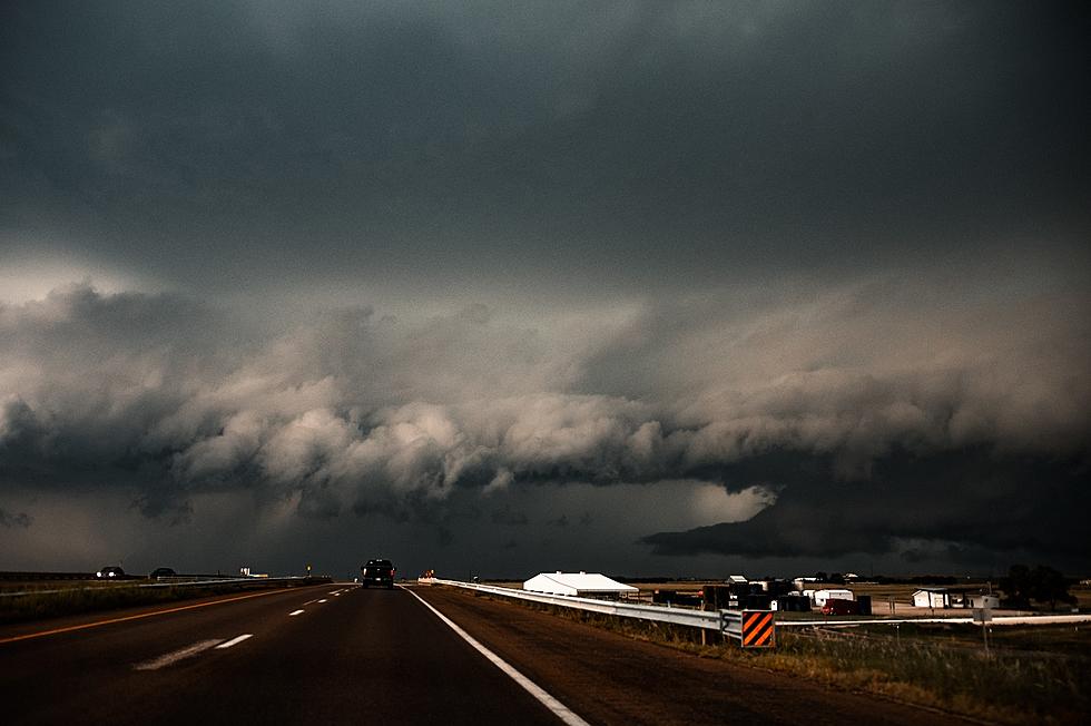
Serial derechos are produced by multiple bow echoes embedded in an extensive squall line (often many hundreds of miles long) that sweeps across a very large area, both wide and long.
This type typically is associated with a strong upper level trough with a strong surface low pressure system.
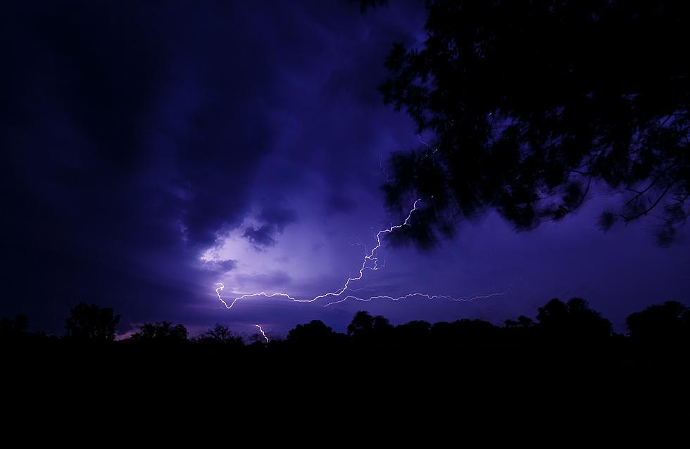
That's certainly what we saw last Wednesday and led us to immediately question whether we'd been hit by another derecho.
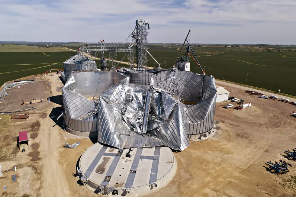
Last week's storms produced peak wind gusts from 86 miles per hour in Winnebago County to 70 mph at the Iowa City Airport to 66 mph at the Eastern Iowa Airport in Cedar Rapids. While those paled in comparison to the estimated 140 mph winds that impacted Cedar Rapids in the August 2020 derecho, the storms resulted in enough damage to cause Iowa Governor Kim Reynolds to put 50 of Iowa's 99 counties in a disaster proclamation.
The National Weather Service says there were a total of 57 tornado reports, 22 hail reports, and 561 wind reports associated with last Wednesday''s serial derecho. Here's the radar loop as the storms made their way across central and eastern Iowa.
The August 10, 2020 derecho, the costliest thunderstorm event in U.S. history, was a progressive derecho. The National Weather Service says a progressive derecho is,
associated with a relatively short line of thunderstorms; typically, 40-250 miles (65-400 kilometers) in length.
Mainly a summertime occurrence, these derechos usually are associated with a stationary front where the upper level air flow is parallel to the stationary front.
Progressive derechos may travel for many hundreds of miles along a path that is relatively narrow compared to those of serial derechos.
The third type of derecho is known as a "hybrid" and has characteristics of both serial and progressive derechos. Let's hope we don't see one of those, or a repeat of a serial or a progressive derecho, anytime soon.
Last August, I struggled mightily trying to pronounce the word "derecho". Unfortunately, I've had plenty of practice to master it since then. If you're still fighting it, here's the pronunciation in print: deh-REY-cho. Here's a perfect audio pronunciation and more explanation about derechos. I genuinely hope we won't have to say this word again, and talk about the aftermath it has left behind, anytime in the near future.
LOOK: The most expensive weather and climate disasters in recent decades
KEEP READING: Get answers to 51 of the most frequently asked weather questions...
More From Hot 104.7 - KKLS-FM